
Get this activity HERE!
CHECK OUT MY ENTIRE INTERACTIVE NOTEBOOK HERE!!!
This interactive notebook activity gave me some heartache trying to figure out the exact sizes the continents need to be, the best order to glue everything down, what kind of glue to use.... it has been a mess.
BUT! I finally figured it out to make a 3 day or 3 part
interactive notebook activity of the world and different features!
WORLD ACTIVITY HAS:
the continents, the prime meridian, equator, tropics of Cancer and Capricorn, and circles of Antarctica and Arctic.
ALONG WITH:
making a key, a compass rose, longitude and latitude, and hemispheres.
ALSO INCLUDES:
a flip book of definitions the students create to go along with their world inside their interactive notebook.
Supplies you will need:
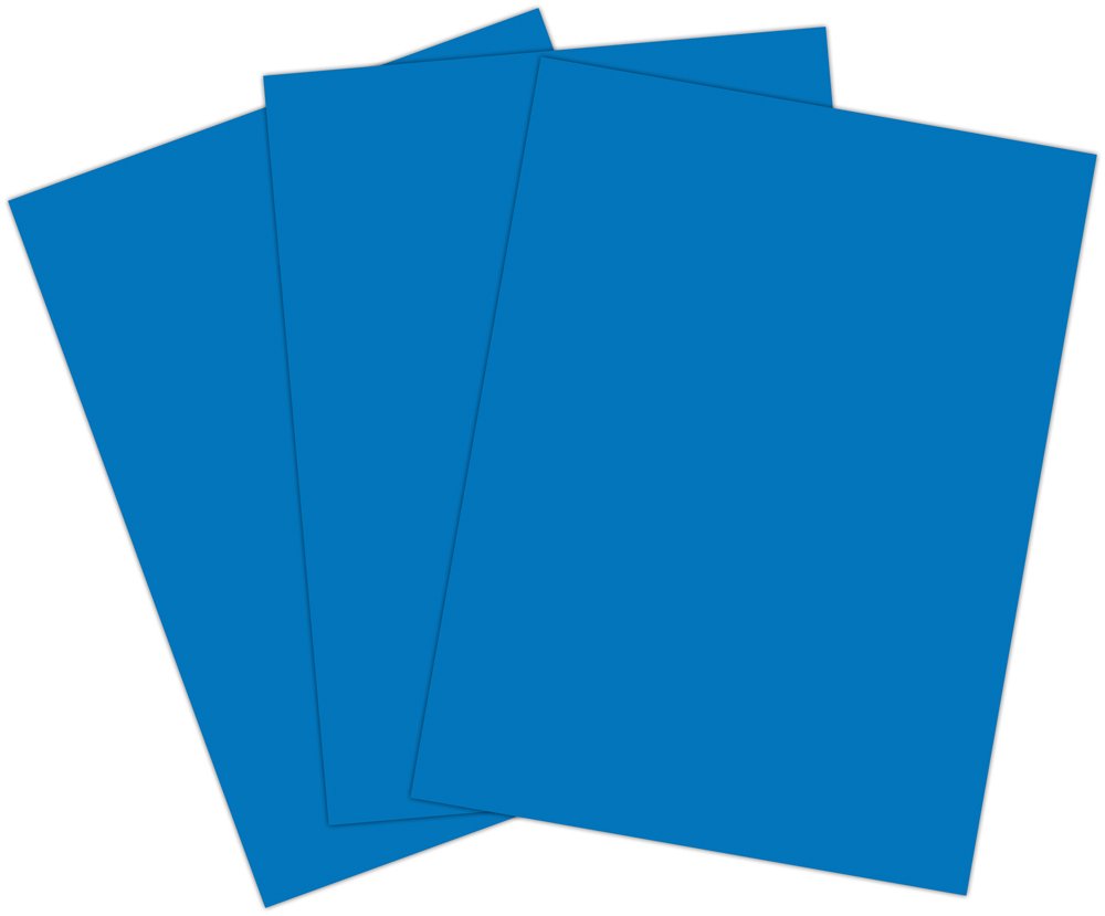
Each student gets 1 piece of blue construction paper

They will also need a copy of the continents, key and flip book found HERE!


You will also need 6 (SIX) different colors of yarn or curling ribbon.
(I found that the ribbon works much better than the yarn because it is thick and can be glued down easier)
(I found that the ribbon works much better than the yarn because it is thick and can be glued down easier)


Each student will also need map pencils, scissors and glue.
For me, this will be a 3-4 day activity. I only have 45 minutes with each class so I need to break it up, but it can be done in one day, with drying time allowed.
**note**
I will be teaching each section in some format before it is done in their interactive notebooks. I will introduce and explain each map term using prezi, brainpop, flipcharts or videos, then the students will fill in their flip book and world accordingly.
**note**
I will be teaching each section in some format before it is done in their interactive notebooks. I will introduce and explain each map term using prezi, brainpop, flipcharts or videos, then the students will fill in their flip book and world accordingly.
---------------------------
DAY /PART ONE:
First
they cut out their flip book.


Then
give each student a piece of blue construction paper.

(hamburger, not hot dog)


Have students fold this back up in half twice.

Thirdly
After teaching to the students what longitude and latitude is, and the main named lines on the globe
(equator, prime meridian, tropic of Cancer, tropic of Capricorn, Antarctic circle, and Arctic circle)
Students will fill out the definitions of the first 8 flaps in their flap book independently, with partners, or as a whole class.
 You can fill out all the definitions at once, but I am breaking it up with the world map and doing just the first longitude and latitude map lines.
Next
you will pass out 6 different colors of curling ribbon or yarn.
I will precut mine but the kids can cut them themselves. (I am on a time crunch and every minute is needed!)
The students will glue down the ribbons/yarn to make the longitude and latitude lines they just learned about.


Students will fill out the definitions of the first 8 flaps in their flap book independently, with partners, or as a whole class.

Next
you will pass out 6 different colors of curling ribbon or yarn.
I will precut mine but the kids can cut them themselves. (I am on a time crunch and every minute is needed!)
The students will glue down the ribbons/yarn to make the longitude and latitude lines they just learned about.

I did the longitude and latitude lines first since they are dead center.

Followed by the tropics lines about 3 thumb widths away from the equator line.

Then lastly the arctic circle lines about 2 thumb widths down from the top and bottom.
LET DRY.
This will end my day one, but if you are self contained or have longer than 45 minutes, you can set this aside and move onto the next part.
This will end my day one, but if you are self contained or have longer than 45 minutes, you can set this aside and move onto the next part.
why am I not starting with the continents first?
These longitude and latitude lines create a grid for us to use to guide us where exactly to glue down the continents in the next part. For example, the Tropic of Capricorn cuts Australia in half and the top of Africa is above the Tropic of Cancer.

This is an example of the activity when I put the continents down first, then the longitude and latitude lines. The lines in my activity don't fall where they are suppose to. It is easier and more accurate to do the longitude and latitude lines first.
DAY/PART TWO:
First
After teaching the students about what continents and the oceans are, have them fill out the definitions in their flip book.

Secondly
Give each student a copy of the continents and labels page found HERE!


Have students use the map pencils to color each continent and the label, matching them correctly.
Next
cut out all the parts.
Using the longitude and latitude lines we glued down earlier, students will glue the continents down where they are suppose to go. Also glue down the ocean labels. This can be guided or independent. I am going to have my students use an atlas to determine where each continent is suppose to be glued down at.

LET DRY.
After it is dry, students fold it in half, and glue the back of one side down into their interactive notebook.
The key and compass rose is glued down on the other folded side.
**I wait until this part to glue it down and not at the beginning just in case a student makes a mistake and needs to start over they can without tearing the page out**
**I wait until this part to glue it down and not at the beginning just in case a student makes a mistake and needs to start over they can without tearing the page out**
DAY/PART THREE:
First
After teaching about what a map key, the world hemispheres and compass rose are, have students fill out the last 3 definitions in their flip book.

Then
give students the final page with the hemispheres, map key and compass rose.
Pass out strips of the color ribbons for them to create their key.

They shade in the 4 examples of the hemispheres and glue down the compass rose in the corner.
AND WAH-LA!
You have an AMAZING world map along with the definitions of all the map parts!!

Here it is with the map closed.
What it looks like with the map opened.
HAPPY TEACHING FRIENDS!!
This is AMAZING. I always struggle with teaching my students map skills. I will be starting with this in 6th grade this year! Do you find that kids struggle with all the steps?
ReplyDeleteWe did it over a couple of days, but it was no problem at all.
DeleteThe product in my TpT store comes with a modified version though, that doesn't include the ribbon!
This is absolutely brilliant, Diana! It's exactly the kind of hands on approach I was looking for. Thank you!
ReplyDeleteThanks so much!
DeleteI love this, and really all of your items! Do you have a huge bundle (discounted) in TpT?
ReplyDelete